|

Singletracks (17.8
km, 1247 m)
>>
enlarge

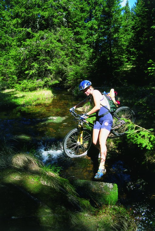
There is always enough water
on Pohorje (17.5 km, 1240 m)
>>
enlarge
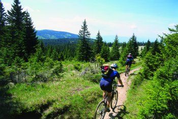
Typical terrain for Pohorje (32.3 km, 1452 m)
>>
enlarge
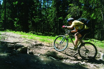
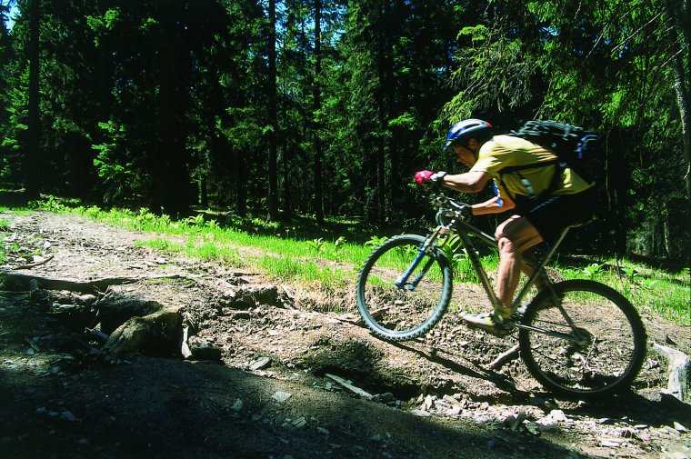
Steep ascents are not
that rare, as it comes with a very
difficult trail (25.3 km, 1440 m)
>>
enlarge

On the way to Ribniski
vrh - the mountain
at the back (32.5 km, 1440 m)
>>
enlarge
|
|
|
|
|
INFO
|
|
Starting point
Length
Riding
time
Total
time
Total ascent
Starting height
Max height
Min height
Cyclability
|
Maribor
51
km + 9 km*
4 h
7-9
h + 2 h**
1580
m
1040 m
1537
m
335
m
98
%
|
TERRAIN
|
|
Singletrack
Cart track
Macadam
Asphalt
|
20 km
15 km
10 km
6 km
|
MAP
|
|
Pohorje
1:50:000, PZS
|
FUNICULAR
|
|
-
runs every hour
-
first run at 8 a.m.
-
for info call: +386 (0)2 603 6553
(Klub Branik - vzpenjaca)
|
TRAIN
|
|
-
from Vuhred on working days
at
2:57 p.m. and 6:10 p.m.
-
an hour to Maribor
-
for info call: +386 (0)2 292 2160
|
BUS
|
|
-
from Radelje ob Dravi (3 km out
of Vuhred) on sat. and sun. at
3:55 p.m. and 6:15 p.m.
-
an hour to Maribor
-
for info call: +386 (0)2 823 1191
(Koratur)
* additional
distance from Vuhred to the bus station in
Radlje plus from the bus stop in Maribor
to the funicular lower station
** time
needed to get from
Vuhred to the funicular lower station -
the train or bus + bike
|
|
|